This week our students took a journey west on Lewis and Clark's Corps of Discovery. Throughout the day Tuesday, they rotated to each classroom where they were immersed in different integrated activities that helped them understand the experiences and struggles faced by settlers moving west.


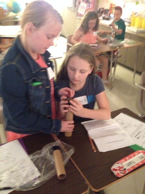
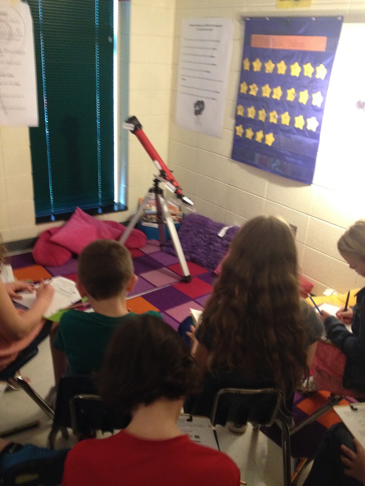
In the first station, students participated in three activities: 1) Building and using their own telescopes 2) Studying a real telescope, learning how a telescope works, and drawing a diagram of the telescope and 3) Reading an article to learn how Lewis & Clark used telescopes and similar tools on their journey!


In the second station, students learned how to design routes across mountains and streams that would have been fast, safe, and inexpensive for settlers. In order to do this, students learned to read and create topographic maps. Students were taught how to use contour lines to determine change in elevation.

Next, students created a 3-Dimensional map using play-dough. They plotted the Missouri and Missippi Rivers, the Rocky Mountains, and Lewis & Clark's journey. They also used a map scale to determine the distance of Lewis & Clark's route.


In the next stations, students used iPads and iPods to learn more about the motives pioneers had for traveling west, along with the struggles they faced.

This information came in handy in the next station, where students were taught how to keep a diary of their pretend journey out west! Students used information learned in the other stations to help them.


Finally, students got to meet John Colter, a mountain man, who is on his way out west with Lewis and Clark!!


Thank you for joining us in our expedition west!
No comments:
Post a Comment